AIMSUN Next is a multi-resolution modelling platform that simulates mobility in networks of all sizes. The Wellington Transport Analytics Unit operate and maintain AIMSUN models of Wellington City and Hutt City and are about to develop a new model covering Porirua City
These models focus on representing traffic demand, using the AIMSUN Hybrid structure whereby large areas can be modelled with mesoscopic simulation, together with added levels of detail within areas such as Wellington CBD where microscopic simulation is required.
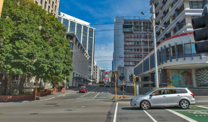
The Operational Transport Models are developed using the AIMSUN software platform. These micro-simulation models are used for detailed scheme design, signal and network optimisation and management of the highway network.
A number of visualisation tools have been developed in order to share model outputs with clients. Below are some examples of the kind of outputs that can be produced from the AIMSUN models
 |
 |
 |
We provide documentation relating to all model updates so that interested parties can understand how the models have evolved through time. Let's have a look!