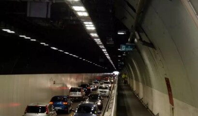
Transport analytics provides the evidence base to inform transport and land-use decisions, with potentially far reaching and long-lasting implications that affect our environment, the economy, social well-being and urban form.

The Unit has been working closely with the Wellington Regional Leadership committee to develop a Housing and Economics dashboard.
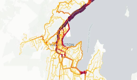
Use these interactive maps for Wellington and Porirua to see forecasted corridor changes, making regional travel patterns clear for data-driven decisions.
Explore a collection of Power BI dashboards by WTAU, designed to showcase and analyze transport trends.

The Regional Land Transport Plan (RLTP) sets the direction for transport in the region for the next 10-30 years…
A “People and Place” dashboard has been developed to provide a visual understanding of range of information such as where people…
 |
 |
 |
We provide documentation relating to all model updates so that interested parties can understand how the models have evolved through time. Let's have a look!